Chief Biking Officer Fiain d’Leafy tells us about their adventure with Chair Karen Hormann to Te Whanganui-a-Tara Wellington! They took their bikes on the train, connected with other awesome advocates […]
Key details Are you passionate about creating a more lovable, sustainable, and people-friendly Tāmaki Makaurau Auckland? Are you a storyteller, ready to inspire and motivate people into action? Can you craft […]
The Government’s draft Government Policy Statement on Land Transport (GPS) is open for your feedback until 2 April at midday, 12pm. As we noted when it was first released, it […]
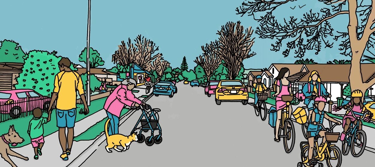
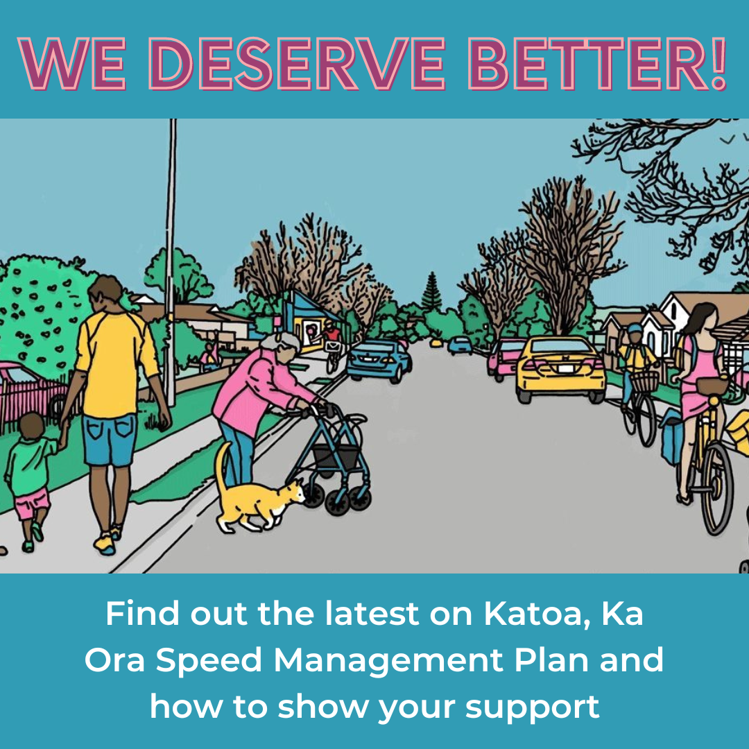
Auckland Transport (AT)’s Katoa, Ka Ora road safety plan is the result of two years of consultation, 8,000 submissions, broad support from elected representatives, and compelling evidence of results. So […]
Auckland Council’s Long Term Plan (10-Year Budget) for 2024 – 2034 is up for consultation, and it’s a big read! We’ve identified the bits of their proposal that relate to […]
At the Auckland Transport Board meeting in February 2024 was the finalisation of Katoa, Ka Ora: Auckland’s speed management plan 2024 – 2027. This follows earlier mahi, over 2020 to […]